|
|
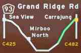
Stage IV -- English's Corner to CarrajungDistance: approx. 40 kmSuggested time: approx. 60 minutes |
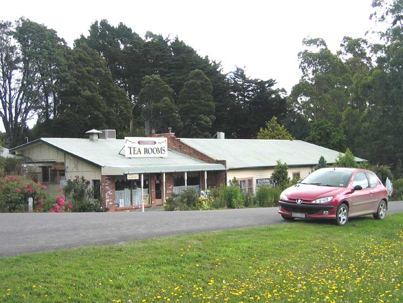
The last forty kilometers of the Grand Ridge Road takes you through native forest and the beautiful Tarra Bulga National Park at Balook. Pause for a cup of tea and a scone at the Golden Weather Tarra Bulga Guest House and Tea Rooms, and think long and hard about signing the Grand Ridge Road Improvement Petition (GRRIP), before taking a look over the Visitor Information Centre.
Once you pass through the park area, you will notice that the vegetation becomes a little more sparse as you descend towards Carrajung, on the Hyland Highway that runs from Traralgon to Yarram. With a sinking heart, you will realize that your trip is drawing to a close.
Remember, click on any of the thumbnail pictures below to see a larger original.
|
|
The forest in this area, which is the wettest part of the road, is markedly less prone to bushfires than other parts of the state, although fires have often raged across the Strzeleckis over the years, and in 1944, for example, resulted in the deaths of 14 people.
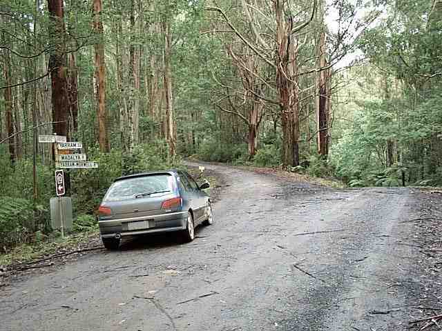
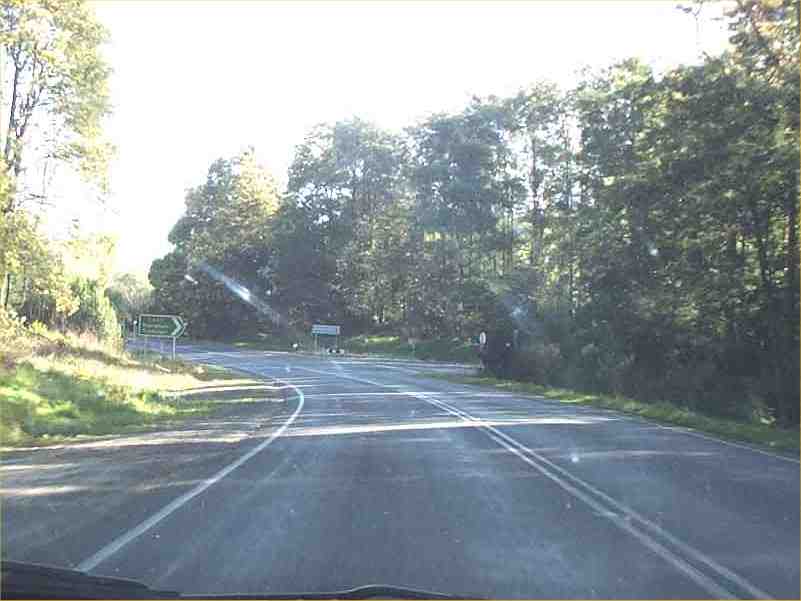
About three kilometers on from English's Corner, we come to the junction of the road down to Yarram and Madalya. 93 continues to the left. |
|
|
Being the wettest part of the road, it's also the most difficult to maintain. At this corner for some time in early 2002, for example, this crudely hand-crafted sign posted by an irate driver warned other passers-by of "danger unmaintained goat track ahead shame". In 1952, the Post Office that then existed at Blackwarry, further along towards the end of the road, registered 123 inches -- more than 3 meters -- of rainfall for the full year. |
|
|
... so when you come to this huge, rusty old steel fire services tank, out in the middle of nowhere, a little further along, its presence seems a little paradoxical. |
|
|
This photo was taken at the same point on a misty day's trip in the opposite direction. It's probably intended as an assured reserve in case of bushfires, but it seems so out of place that I'm sure there's an interesting story behind it somewhere. |
|
|
A few kilometers on, there's a spring in the hill behind this picnic spot, set on the outside of the bend to catch the sun. |
|
|
And when you're ready to leave, this is the view forward down the road from the picnic spot. |
|
|
I've never seen anyone come from nor drive onto this road, but the signpost says that it goes to Morwell, back down on the Prince's Highway.
In this photo, scouts for a cycling group have left timber across the junction in order to direct a following group to continue along the Grand Ridge Road, to the right. I was tempted to stop and clear it away ... |
|
|
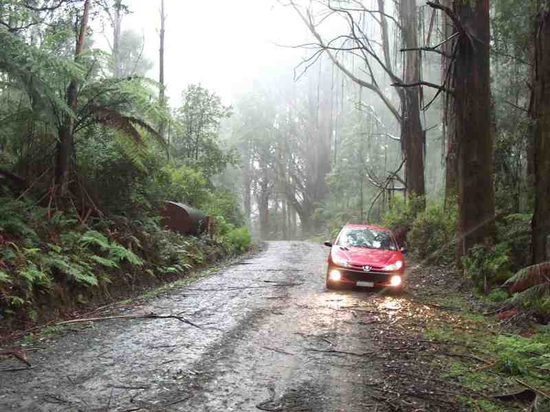
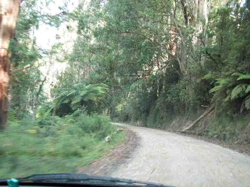
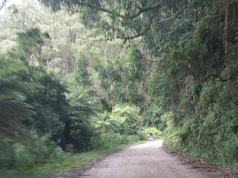
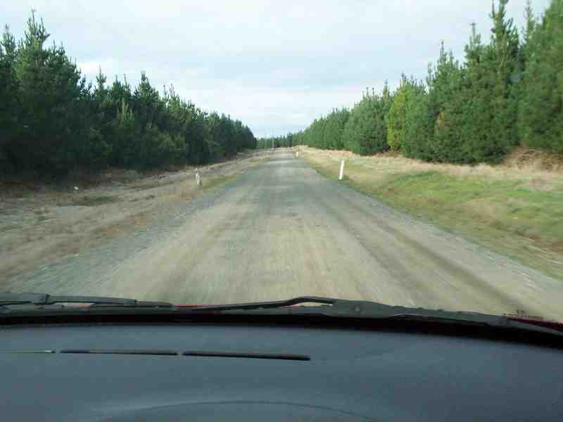
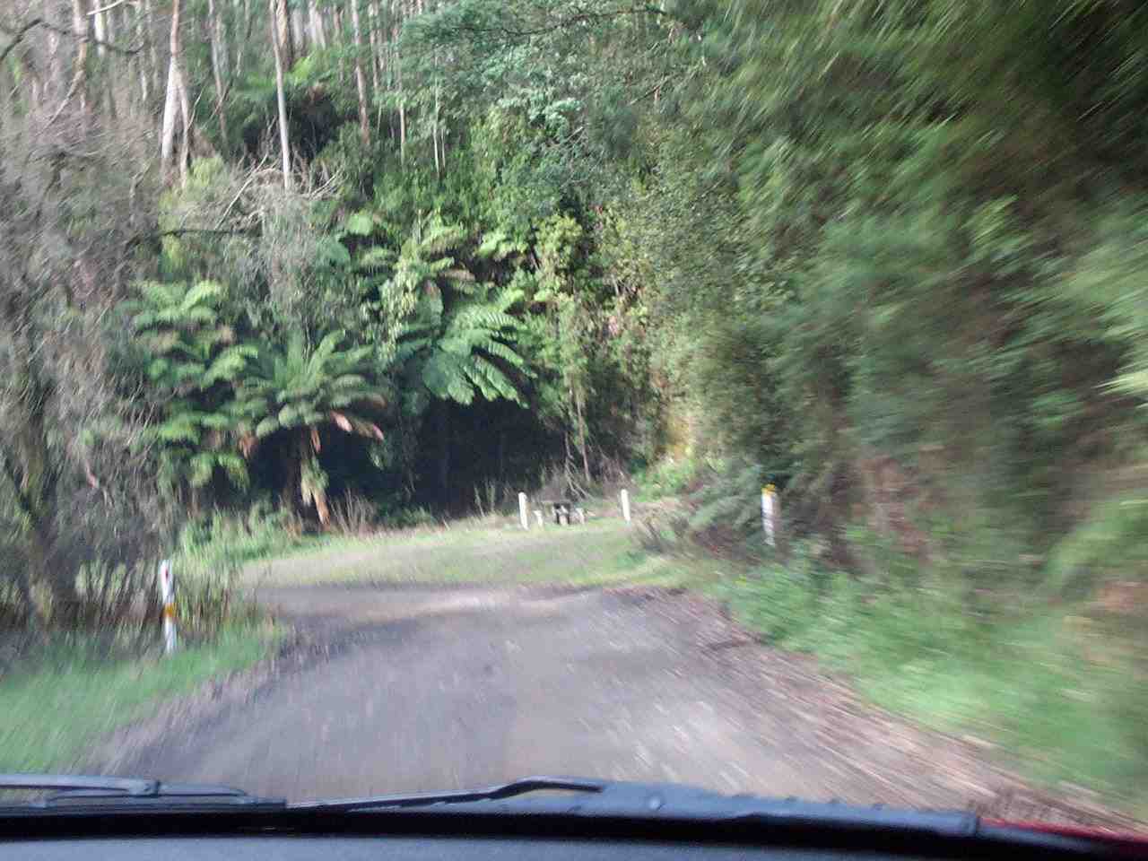
As we approach the national park, more and more of the road begins to look like the section shown here -- hilly, narrow and rough, but firm, and too rocky to afford a very fast passage. After storms, this is also the area where you'll find most timber on the road, including small branches that can snag brake lines and cables on the underside of your car, more so if it's a 306 than a 206 (ask me how I know). |
|
|
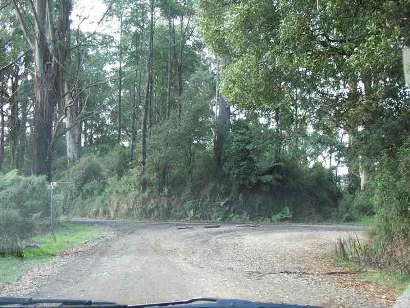
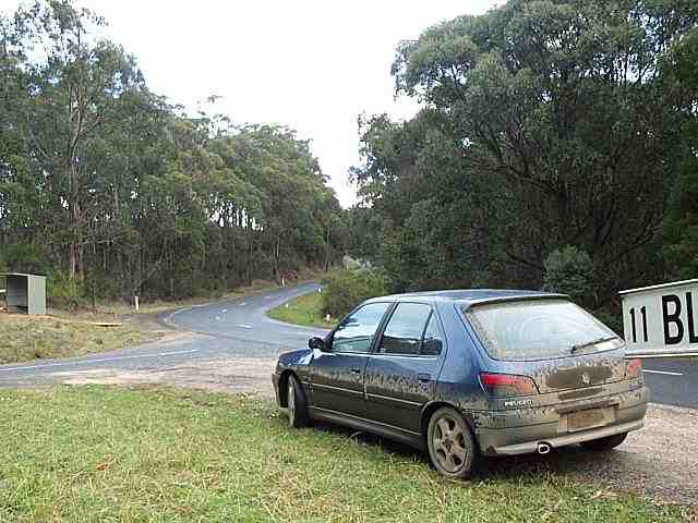
About three kilometers further on, we come to Whitelaw's Track, an old survey track that was blazed in the mid-1870's south from Yinnar to Port Albert across the Strzeleckis. Due to damage, the road has been closed to traffic down to the coast from this corner for more than two years now that I'm aware of. |
|
|
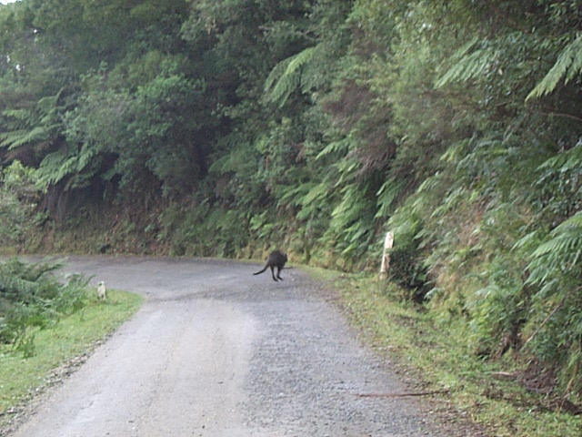
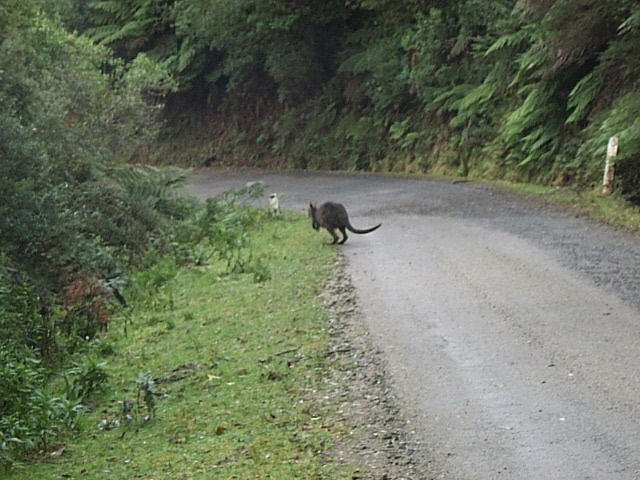
You'll sometimes find yourself driving past wallabies on this road like the one heading for the ditch here, and in the following photos. You'll also see plenty of wombats -- unfortunately, more of them dead than alive -- and even the occasional echidna. I've never seen a single kangaroo, and the literature suggests that the scrub is generally too dense for them. |
|
|
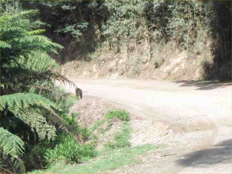
This black wallaby obviously doesn't see too many tourists. The most I've ever seen along the side of the road in one trip was 18 while driving across the eastern end of the ranges late one afternoon -- I missed the closest one by less than a meter. |
|
|
South from here, Foster promotes itself as "Tiger Territory", after occasional alleged sightings of the thylacine, or Tasmanian tiger, supposedly extinct for the past 70 years. A deeply skeptical person in all other respects, I will nevertheless go to my grave insisting that I almost ran one down, at dusk about 30 years ago, just north of Korumburra, south-west from here, and in far more open country than this. I could almost believe that they might still roam the bush here, and noone would ever know, only common sense scoffs at the very idea. |
|
|
The sign in the distance marks the entrance to the Tarra Bulga National Park. You won't be able to resist being impressed by the height of the timber when you run down to this point. The road is clearly quite firm, if narrow, here. |
|
|
The Tarra-Bulga National Park was created in June, 1986 by the amalgamation of two smaller parks, the Tarra Valley State Park and one of the state's first National Parks, The Bulga National Park.
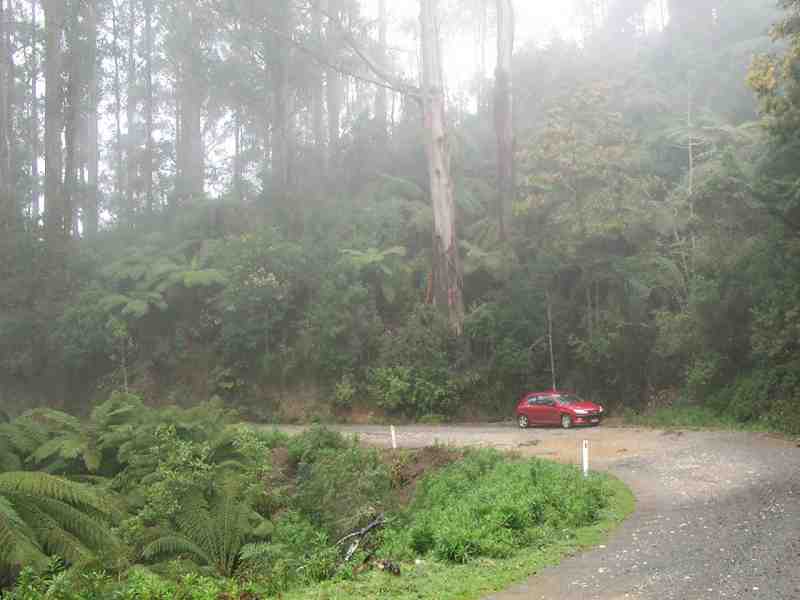
Check the serenity! (Have you noticed all the other traffic we've been struggling with?) |
|
|
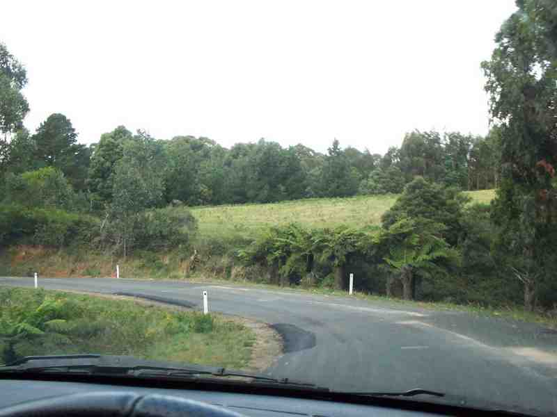
Approaching the Tarra Valley turnoff at Moorfields Saddle, named after a pioneer family of local settlers whose original donation of land contributed many hectares to the park's foundation. You'll come rattling round a slight left-hand bend on the hill, and suddenly find yourself running down to bitumen. You'll be almost sorry to see it when you do, because it means we're getting closer to the end of the road. |
|
|
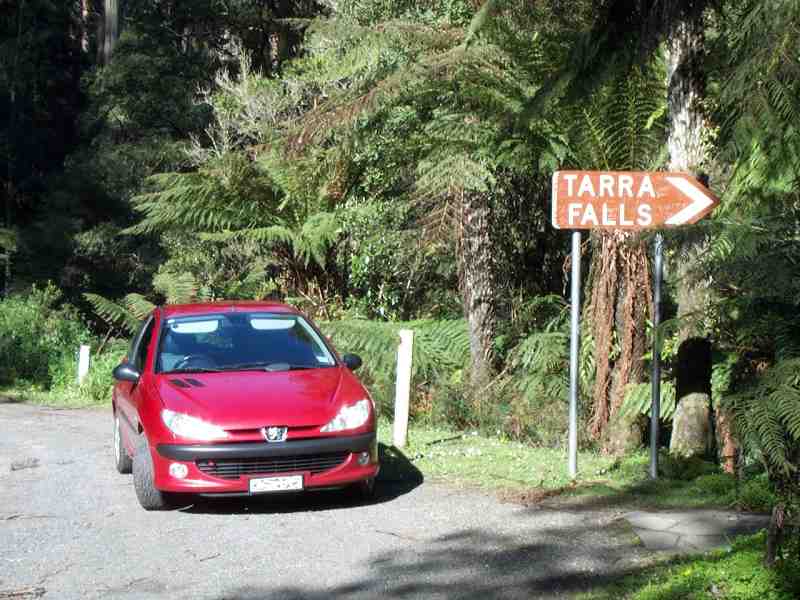
The reverse shot back up the hill that we just came down at Moorfields Saddle, within the Tarra-Bulga National Park, and about 110 kilometers from where we started out, maybe four or more hours ago. It's possible to turn off here onto a sealed road that runs for 26 kilometers south down the Tarra Valley to Yarram, taking in the scenic Tarra Falls. |
|
|
But note the sign -- "12km winding road not suitable for caravans". And it really isn't. (But in either direction, it's very suitable for careful drivers in hot little Peugeots.) Not that you will have seen too many (or even any!) caravans up to this point, approaching from the west -- any tourists that you see camping at Balook are more likely to have come in from the eastern end of the road, or on a sealed road all the way up to this point from Traralgon. |
|
|
DETOURS (I): Ducking off down this road, we're at beautiful Tarra Falls, barely meters off a narrow, winding road, and perhaps five or six kilometers south of the Grand Ridge Road at Moorfields Saddle. Although not toweringly high by some standards, the area around the falls is nevertheless very steep, so if you visit the falls, mind your step on the damp pathway and stay inside the guide rails. |
|
|
Back up on the Grand Ridge Road ... about five kilometers further on, we arrive at the Golden Weather Tarra-Bulga Guest House and Tea Room at Balook, originally opened in 1934. Last time I visited, in early 2004, I first encountered (and apprehensively signed) the GRRIP -- the Grand Ridge Road Improvement Petition, calling for the entire length of the road to be sealed. It's only a start, and fortunately it depends on parliament getting off its collective patoot to act, but it's the beginning of the end, friends! After you've had a restorative cuppa, take a walk across the road to the park's very informative Visitor Information Centre. |
|
|
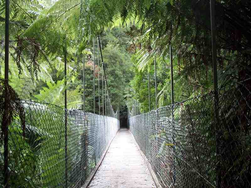
DETOURS (II): A couple of hundred meters further on and just off the road at Balook is a short walking circuit through the park, part of which includes this suspension bridge at canopy height across a steep and beautiful fern gully. A plaque advises that the bridge was donated to the park by the Alberton shire in the 1920's. |
|
|
DETOURS (III): Within a kilometer or two, take a short detour along the road that runs north down to Traralgon. If you keep your eyes open, you'll see a sign pointing south to these massive historic tree stumps on a hilltop that's about 800 meters down a dirt track at Callignee South, some of the last relics of the forest giants that covered these hills. That's when you'll realize that everything we've seen up to this point has been relatively puny, recent regrowth forest, not even a hundred years old!
Old photos abound showing district settlers using hollowed-out stumps like these (and larger) as barns, and even as schools and churches! |
|
|
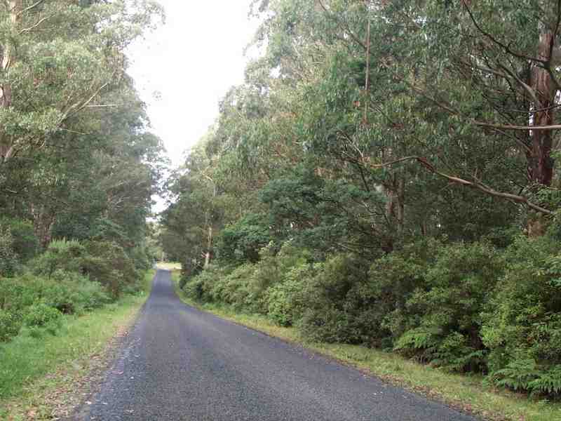
Meanwhile, continuing along the Grand Ridge Road, we're still on bitumen until we leave the National Park precincts, but it doesn't last very long. It's a fairly narrow road, and the trees are rather close in, so try to resist the temptation to speed here. |
|
|
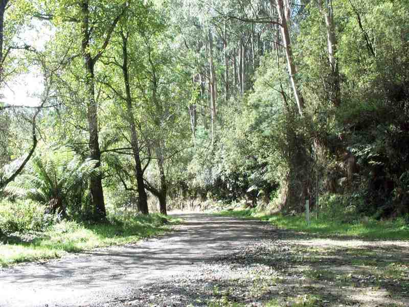
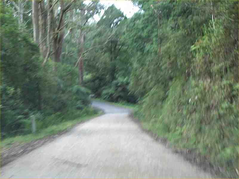
The bitumen soon gives way to a fast, firm but uneven gravel road surface for the next ten kilometers. You will be reminded that we're still running along the top of the ridge by the occasional glimpses that you'll catch of vast coastal panoramas and the Ninety Mile Beach area behind Wilson's Promontory away to the south-east. |
|
|
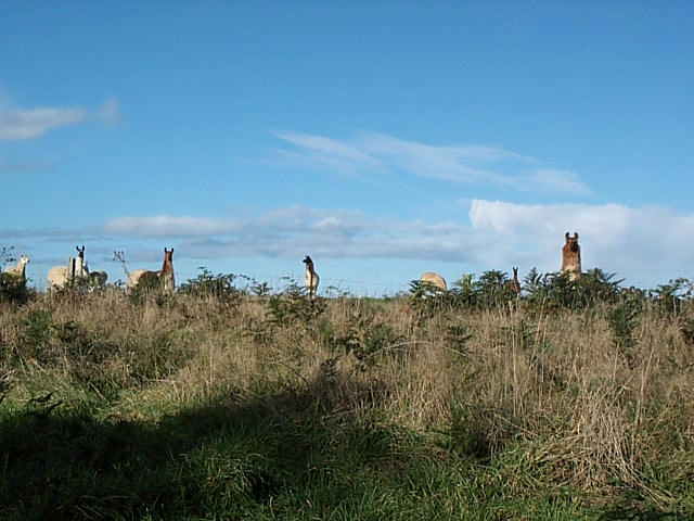
Towards the end of the road, near Blackwarry, if you look over a fence or two as you go by, you might be as surprised as I was to see this herd of llamas. It was on the same trip that I'd also seen for the first time at Hallston, some 70 or 80 kms back, the herd of long-haired Scottish highland cattle. Doesn't anybody just have cows any more? What ever happened to Flossie? |
|
|
When the bitumen finally resumes for the last time as we pass the township of Carrajung, it's not all that imposing a surface, but it soon improves. |
|
|
We've been driving for 133 kilometers by the time we get here. The road has actually skirted around past Carrajung, which lies just behind the trees. And in case you're disoriented, I've turned the car around for this shot, and it's facing back to the west, the direction from which we came. |
|
|
... because when you get to Carrajung, you'll be sorely tempted to turn your car around and start again. |
|
|
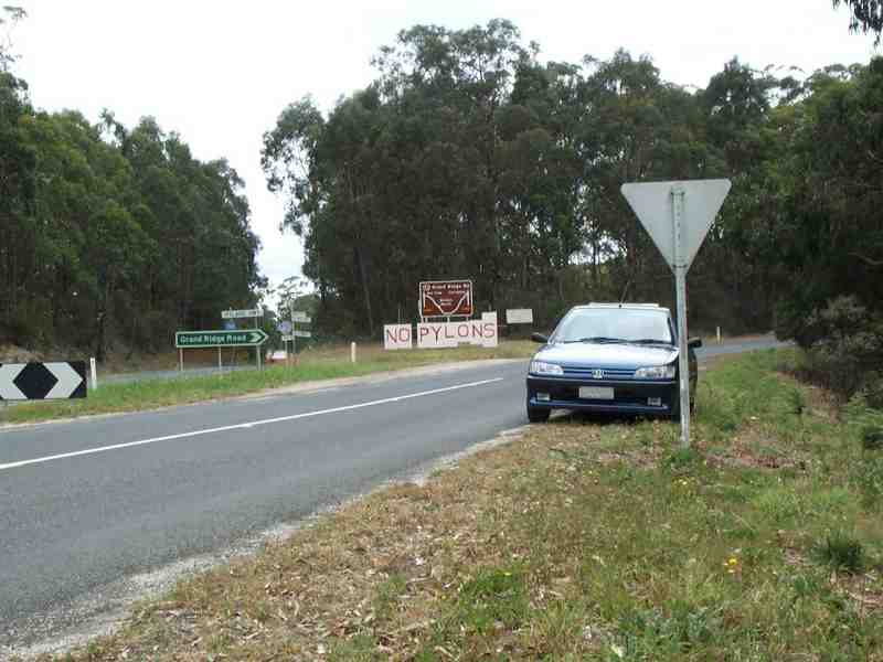
But a couple of kilometers further on, we're running downhill to the REAL end -- the road junction at the far eastern end of the road, just past Carrajung, where it meets the Hyland Highway. And where conservation meets conservatism. |
|
|
Note the "NO PYLONS" sign in the background. You can't really miss it.
Although this makeshift sign has gone now, you'll see the same sentiment echoed a hundred times on similar, smaller signs within 20 radial kilometers of this point, on a very heavily-travelled country highway. This was just one of the biggest ones. |
|
|
Many years ago, I flew into Japan on a business trip at a time when -- improbable as this sounds now, in retrospect -- the Japanese Self-Defence Force had to defend Haneda airport with tanks and machine guns from furious local farmers who were opposed to the airport's expansion. Prior to this, I had always thought farmers were a pretty stolid, and staunchly conservative lot. Clearly not so down here, either, where many locals remain firmly opposed to BassLink, a British consortium that wants to bring an overhead power line ashore from Tasmania. |
|
|
For my money, they deserve all the public support they can muster. I know some of the founders of this movement, and their argument is one driven largely by an appreciation for the unspoiled nature of the rural environment. I agree with them in saying that [EDITORIAL: ON] (again) we don't need another 300 ugly 30-meter power pylons, particularly in an area that's as naturally attractive as this, while quite viable underground alternatives are airily dismissed as "impractical". [EDITORIAL: OFF] |
|
|
As (I hope) you'll agree, too, now that we've reached the end of the road.
But now you'll start to wonder ... if it was only 136 kilometers from start to end -- how could it have taken me so long? The official guide books (conservatively) advise you to allow anything up to five or six hours. I've done it in less, but I won't disclose what my best time is, for fear of encouraging anyone to try and emulate or better it (though I do stop and take a lot of photos ...). |
And that's my version of a trip along the Grand Ridge Road -- not necessarily a road that's always in the best condition, but certainly one that's beautiful enough in any weather to make you want to go back and do it again. And that's especially true if you're in a Peugeot.
| If you want to know more about the history of the early settlement of this ruggedly beautiful area, look for a fascinating book that has already become a minor Australian historical classic, "The Land of the Lyrebird" (ISBN 0-646-35497-3). This collection of reminiscences of the experiences of some of the more successful of the earliest western settlers of the South Gippsland hills district was first published in 1920 by the Committee of the South Gippsland Pioneers' Association and by popular demand, re-published by the Shire of Korumburra in 1966 and 1972, and again most recently by the Korumburra and District Historical Society in 1998. |
|
Any questions or comments? |

|
|
|
© 2004 BEB Consulting


