|
|
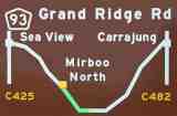
Stage II -- Mirboo North to Gunyah JunctionDistance: approx. 29 kmSuggested time: approx. 40 minutes |
From Mirboo North ("The Town On Top"), the Grand Ridge Road naturally runs downhill and broadly speaking, southeast into the last remaining vestiges of the original rain forest, where tree ferns grow to 10 or more meters in height. Obstacles that you should begin to keep an eye out for include wallabies, lyre birds, wombats and wandering cattle, but try to take the opportunity to enjoy the view from time to time, too.
Remember, click on any of the thumbnail pictures below to see a larger original.
|
|
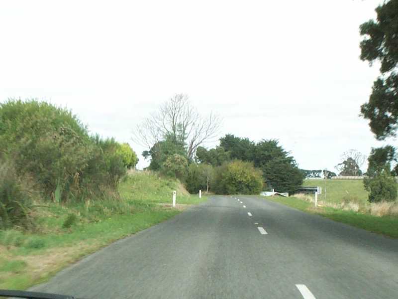
We turn right at the eastern end of the main street to leave Mirboo North, just short of the boutique Grand Ridge Brewery and Restaurant, and head southeast and generally downhill through more lush dairy farming country. . The presence of line markings on the road confirms that it's a fairly decent piece of secondary highway through here. |
|
|
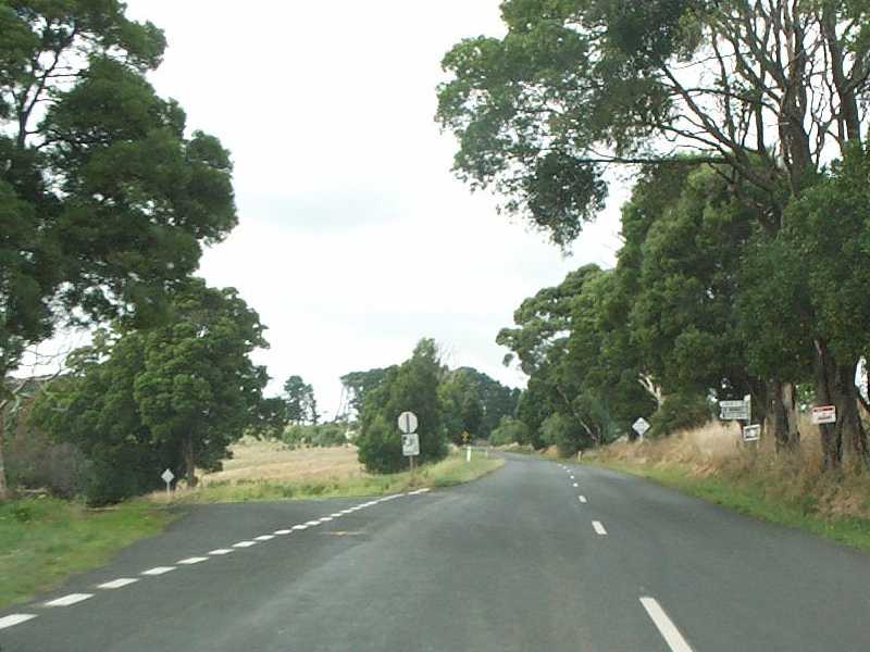
This is the turnoff north to Limonite, just past a much larger and recently redesigned junction where the road south to Dumbalk and Meeniyan meets the Grand Ridge Road, a scenic alternative route to take you down a fine piece of tarmac through Nerrena to Foster and Wilson's Promontory if desired. |
|
|
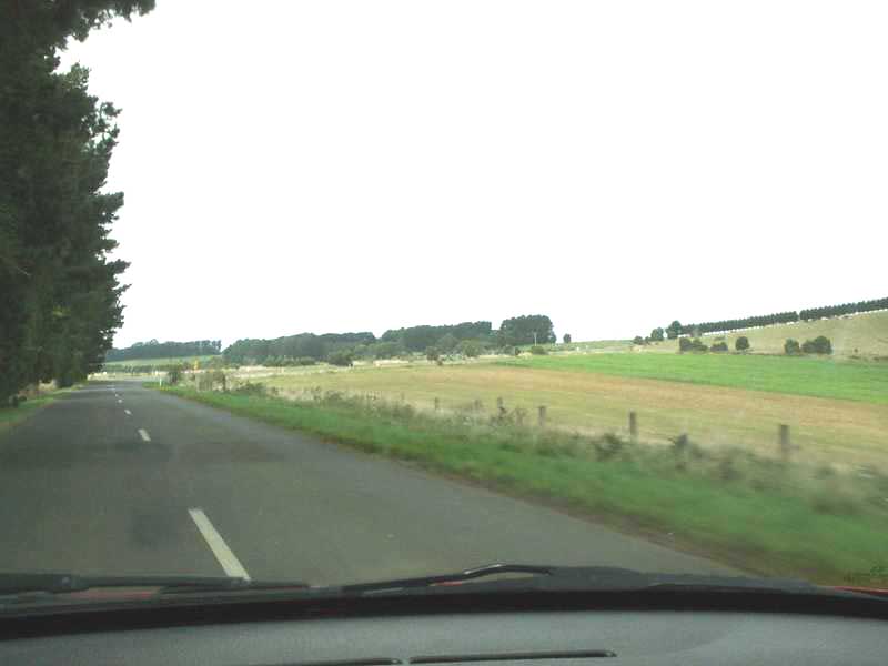
The road is pretty fast around here, and passes through an area that is typical of the open farming land in the district. Keep an eye out for stock in transit across the road. |
|
|
Parts of the road through this plateau, including this imposing hedge, confirm that the area has been cleared and settled for a long time. |
|
|
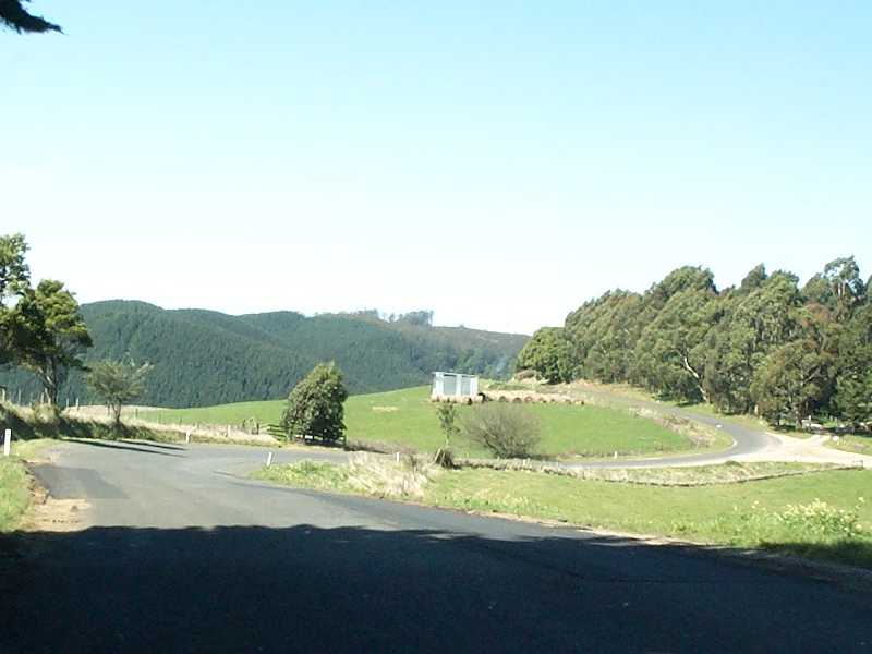
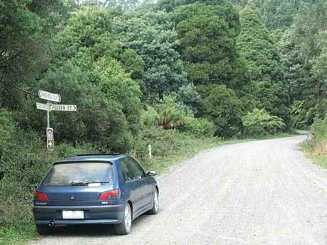
Make sure you turn right when you get to the Boolarra Road intersection, because the vaguely-positioned road sign might otherwise induce you to go left and visit Boolarra, shown here, a pleasant enough 20km round-trip detour, but frustrating if you didn't especially want to be there. Such ambiguities in signage along the road are thought by some to be not entirely accidental, but with no more sinister intent than to deliver unsuspecting visitors to some attractive but otherwise out-of-the-way areas. |
|
|
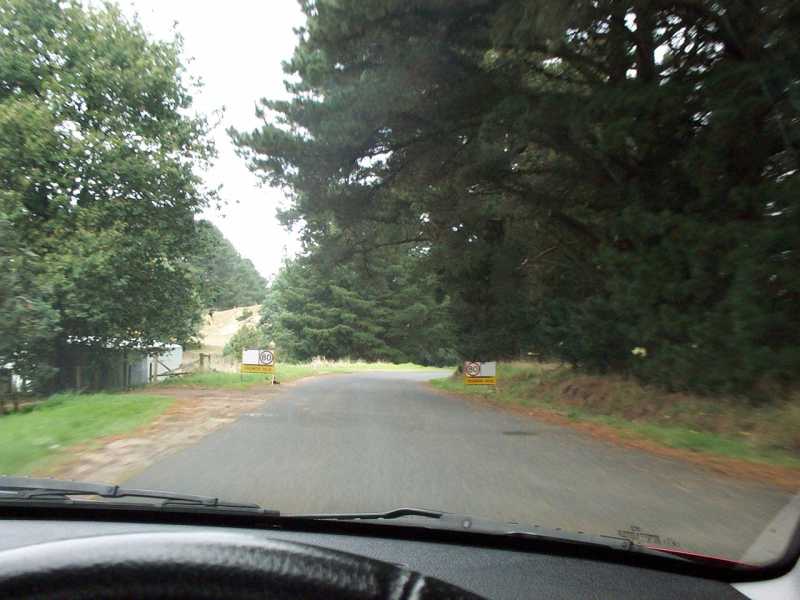
Back on the Road ... try to ignore that persistent little voice in the back of your head saying, "Just flatten it!". One of the easiest mistakes you can make is to assume that just because you haven't seen another car for five or ten (or even twenty) minutes, there won't be one around the next corner. If you look carefully, for example, you'll note that at least two tracks join this road at the second, left-hand bend ... regular users of those roads probably have even less reason to be expecting to meet you! |
|
|
We'll shortly dive down into a valley with a fairly sharp but not otherwise unduly dangerous left-hander half-way down (keep an eye out for the Armco) before we start climbing again. Flocks of large black cockatoos pass through here late in the day to nest in the old pine trees in this area. Deeper into the forest, lyrebirds will sometimes surprise you by flapping across your path, about as elegantly as a chicken would ... |
|
|
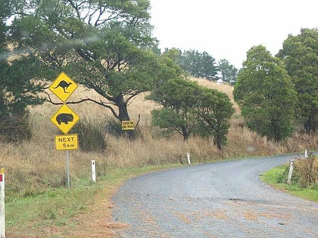
The sign warns of kangaroos and wombats for the next 5 km. You probably won't see kangaroos at all (I never have), but you probably will see wallabies. Sadly, you'll probably see many more dead wombats than live ones, though the speed of the live ones may surprise you. The smaller sign in the background, which you'll see more often from here on as the native forest becomes mixed with plantation softwoods, warns of a different hazard: "Watch for log trucks". They're the reason why I prefer to take this drive at weekends. |
|
|
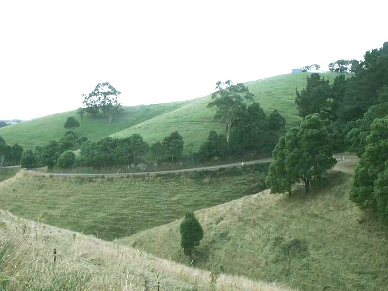
Our path takes us south-east, down and up again through hills that look like this. Fences aren't easy to maintain in such a landscape, and you will already have passed signs warning you that you are responsible for any livestock you hit. Bear in mind that you are liable for a $500 penalty if you should be unfortunate enough to hit any of these well-fed beasts. Note also that many dairy farmers in the hills herd their cattle across the road at milking times, although generally there will be signs to warn you when this is the case. |
|
|
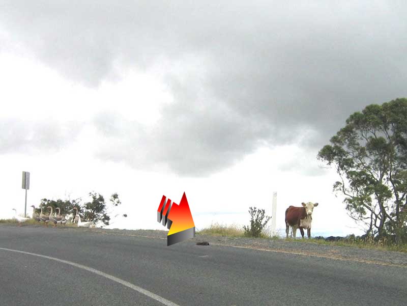
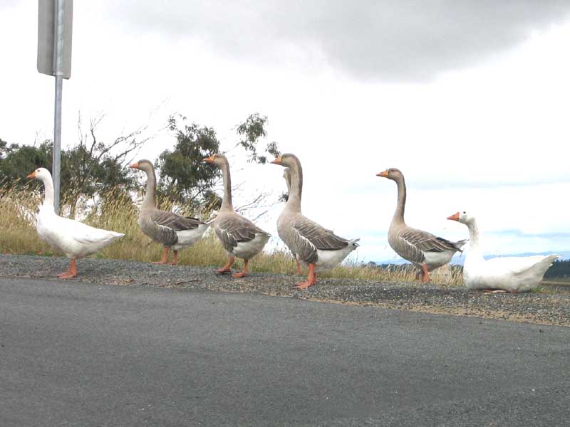
Keep your eyes on the road for telltale (piles of) signs of stock being on the loose along the roadside through here, and elsewhere along the road. About the only change I've noticed in the form of this particular hazard in this area is that the road through here is sealed these days ... not so at a couple of other points along the road where, at other times, I've observed the same problem as this fellow and his custodians. |
|
|
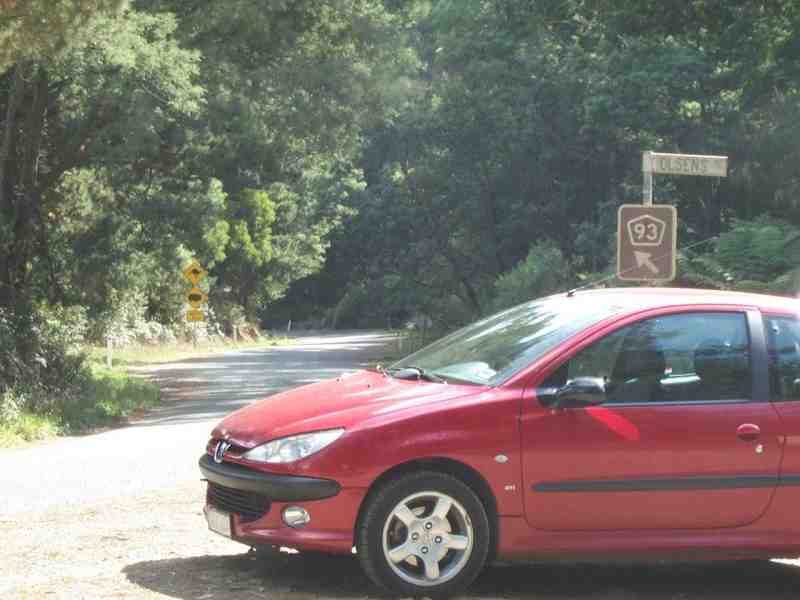
The bitumen ends again at Olsen's Road, about 23 km south-east of Mirboo North. Named after an early settler, this road runs down to the original Morwell River Prison Farm, now closed, and at this junction and at others around this area, you'll find pointers to the "Old Prison". A number of these roads were built as Depression-era construction and relief projects. |
|
|
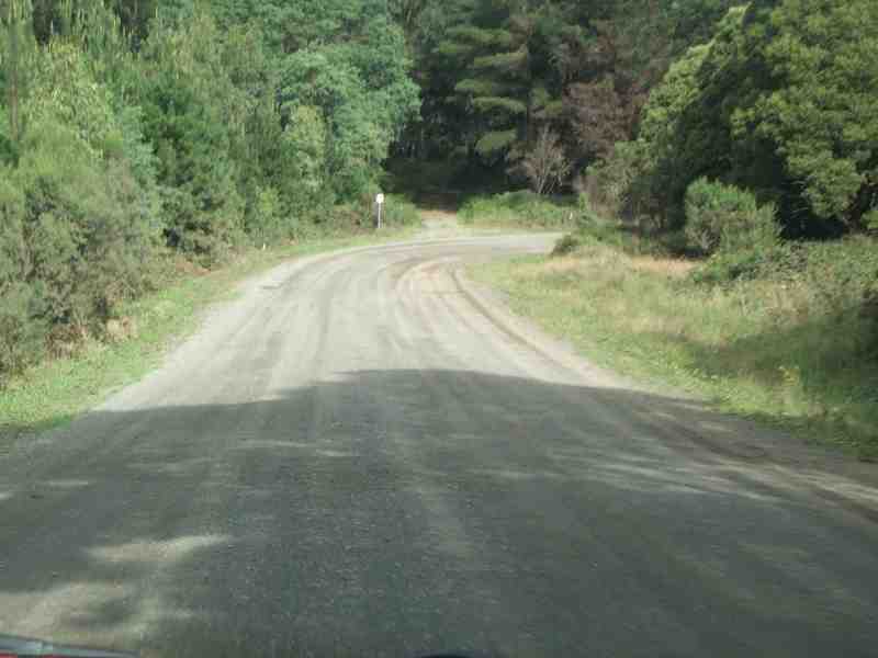
This is representative of much of the road surface on this stretch -- firmly packed gravel which occasionally collects at the sides of the road and sometimes corrugates on corners or forms small potholes if it's been wet, but which generally affords a reasonably swift passage. |
|
|
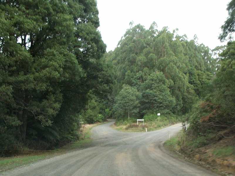
So we're soon at Central Road, which leads off to the right and down from the ridge, south through an old and very picturesque nineteeeth-century goldfield area called Turton's Creek, where gold was discovered in December of 1872. It eventually comes out at Foster, at the start of the road down through Yanakie to Wilson's Promontory. We continue straight ahead. |
|
|
Two kilometers further on, we come to Gunyah Junction, where the Grand Ridge Road joins another road down to Foster, off to the right. This will take you through some quite dense forest areas to Amey's Track, which was developed by a late nineteenth-century Bennison farmer, John Amey, who was eager to sell his vegetables to hungry diggers on the nearby goldfields. |
|
|
We'll pause here to reflect on the fact that there was a substantial enough settlement here by 1907 to have its own Progress Assocation, cattle market, postal service and 14-room hotel, where the kitchen regularly served 100 hot lunches at 1/- (one shilling) each on monthly market days. Gunyah Junction marked the watershed separating the source of the Franklin River and Turton's Creek, flowing south, and the Morwell River flowing northeast to join the Thomson en route to the Gippsland Lakes. |
|
|
The hub of a number of smaller local communities, Gunyah's fate was sealed like many, after years of slow decline, by a disastrous fire in 1936. There's nothing left to show today for the settlement that used to exist here, not even the ruins of a house, but if you look very carefully at the treeline, you might notice some oddly symmetrical and decorative exotic specimens from earlier times that just don't quite look as though they're in the right place among the natives. |
|
|
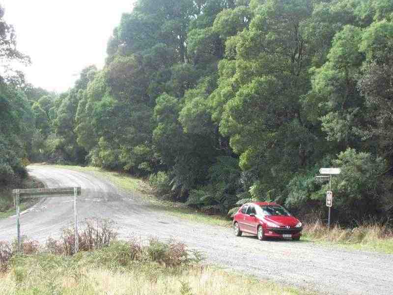
Parked at Gunyah Junction in the rain. Light rain won't make the road markedly any worse than it is in dry weather, other than in patches that should be fairly easy to read. You'll end up with a dirtier car, but if anything, it's most likely to mean that you'll just have even less other traffic to contend with (notice how much you've seen so far?); but in severe weather, the road is probably best left to the locals. |
|
|
The first time I ever passed through here was late in the afternoon of a hot midsummer's day, and my destination was Foster, rather than a tour of the Grand Ridge Road. As I roared off along the road down to Foster, I passed within 30cm of a meter-long copperhead snake sunning itself in the middle of the road, which I noticed in my rear-view mirror had reared up to menace my car as I went past, quite "snakey" at being disturbed. |
|
|
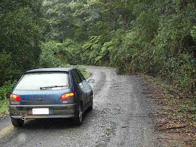
This photo was taken in late April, 2000, perhaps 100 meters further on than the one above, but there's been a storm through the night before. On this particular trip, there was debris from one end of the road to the other. Just around the corner, on the outside of the bend, is a board marking the site of the former Gunyah Junction State School. |
|
|
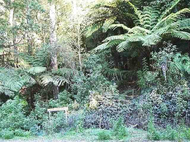
By the time you reach it, you'll already have begun to notice the first remnant tree-ferns from the original mountain rain-forests. In the more remote stretches of the road, they are sometimes accompanied by shady-looking people -- no pun intended -- with trailers hitched behind their vehicles, a shovel in one hand, and purposefully innocent looks on their faces. (Although protected by strict laws, native tree ferns are prized by many suburban -- and country -- gardeners). |
|
|
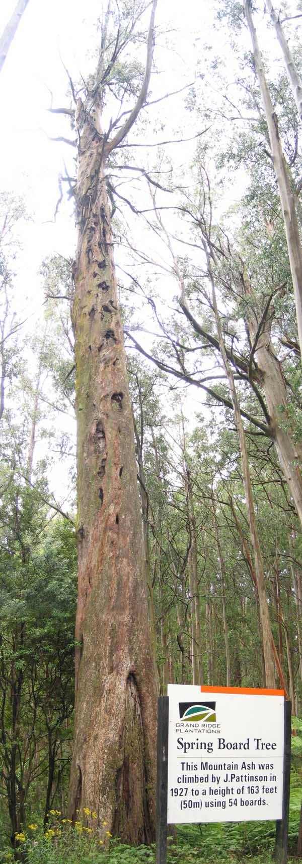
Leaving Gunyah, we've almost reached the southernmost extent of the Grand Ridge Road. At this point. you pass a tree with its top long since blasted away by lightning, but described by some as a "totem" of the earlier hill communities, and now commemorated, with a fine sense of irony, by a plantation timber company. Traces can still be seen of where, in 1927, an ambidextrous timber-getter named Jack Pattinson cut springboards into the trunk of this tree to a height of more than 50 meters and challenged anyone who dared to try to collect the football jumper that he placed at the top. |
We'll proceed on towards the intersection at Ryton Junction, a sacred site for a Pug driver, and a fine place to sit and eat that lunch that you bought back in Mirboo North, and to wonder why you don't see too many other cars going past.
|
Any questions or comments? |

|
|

|
© 2004 BEB Consulting


